API Developer Guide for GPS Toll Verification
The PrePass GPS Toll Verification solution streamlines toll verification for PrePass clients engaged with tolling services and ensures accurate billing. We precisely cross-reference toll transactions issued from the agency, using gps trip data to pinpoint discrepancies in charges versus actual rates and confirm toll accuracy against the routes traveled. When discrepancies are confirmed, we dispute the incorrect toll with the proper Tolling Agency on behalf of our clients.
Our tools simplify toll verification and contribute to efficient transportation operations for fleet managers, logistics providers and individual drivers.
Intended Audience
Carriers who want to share GPS data for tolls verification through the PrePass GPS Tolls API. Developers may also leverage PrePass GPS Tolls FTP solution to upload GPS data for tolls verification.
Access
Access may be obtained from your account manager, or through PrePass customer service.
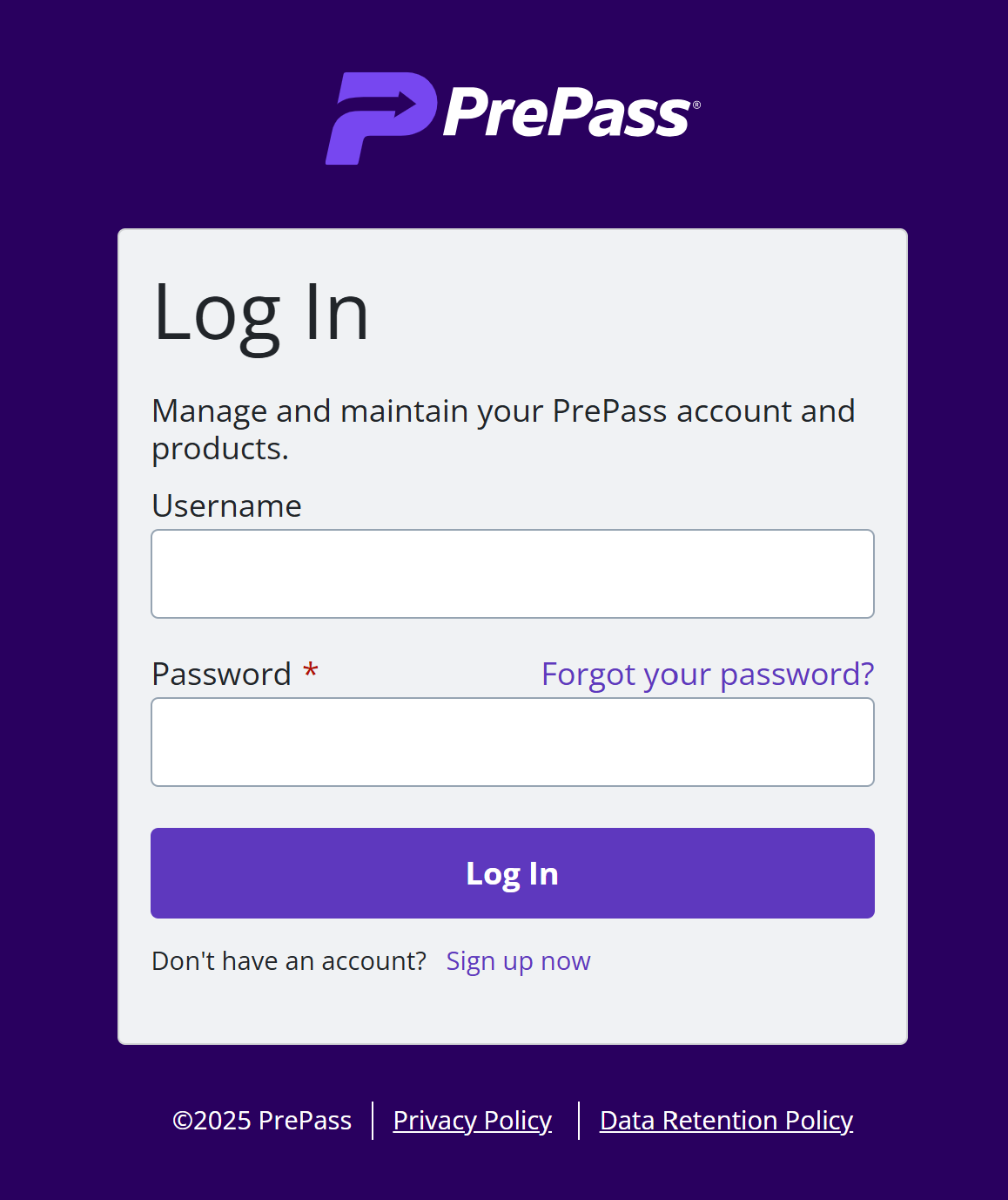
Logging in
1. Navigate to the PrePass Developer Portal and select “Customers” from the main panel. At the “Sign In” screen enter your credentials.
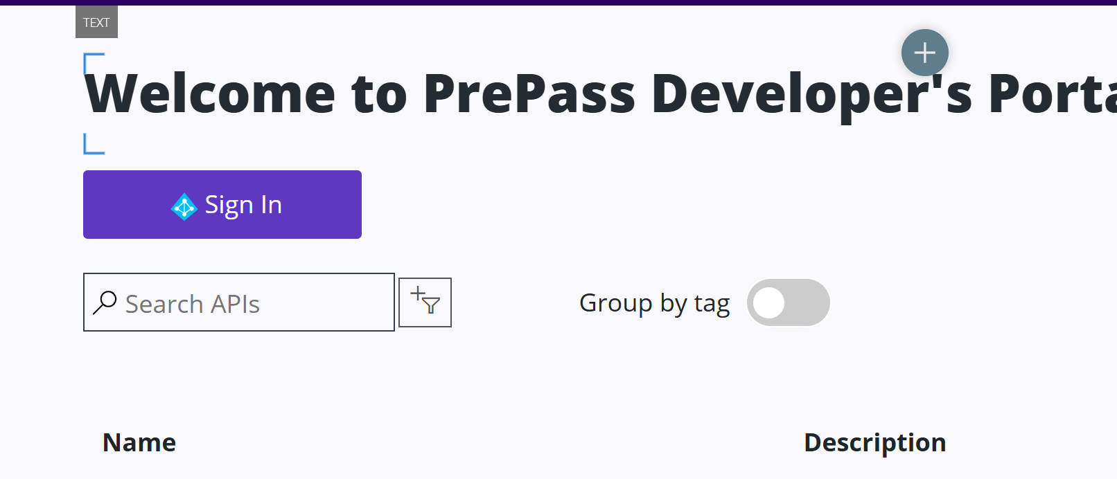
Trying An API
1. Navigate to the PrePass Developer Portal, and select “Sign In” from the main panel.
2. Sign in with your PrePass credentials.
3. Select “Products.”
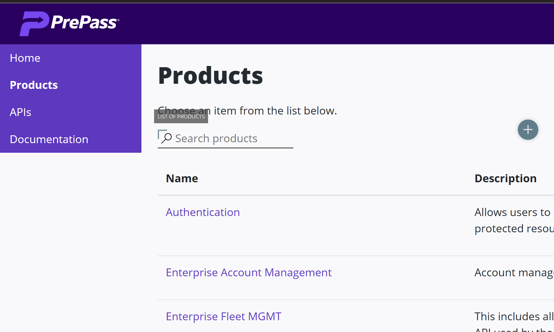
4. Select "GPS Toll Verification" from the dropdown.
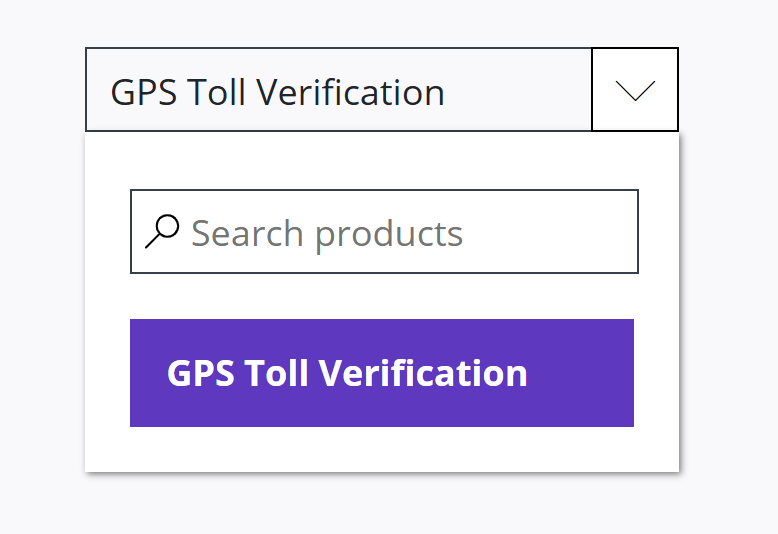
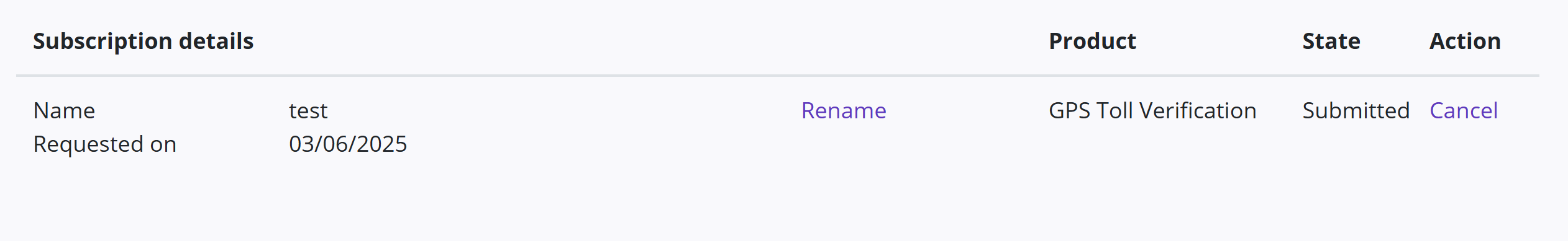
5. Click “Subscribe.”
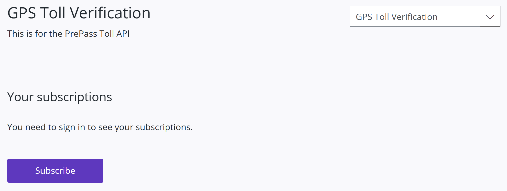
6. Copy your primary and secondary API keys and keep them in a safe place. You will need them for each call to the PrePass API.
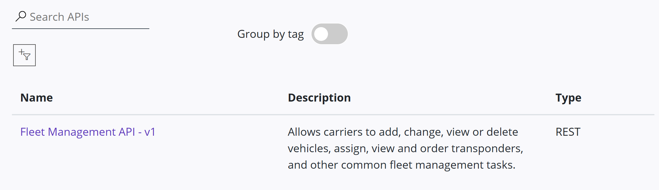
7. Under “APIs,” click a link to an API from the list of available APIs.
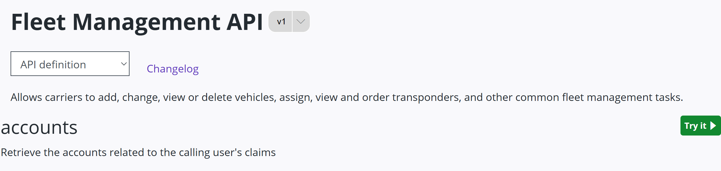
8. Select “Try it.”
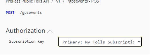
9. Select the subscription key you wish to use for the request.
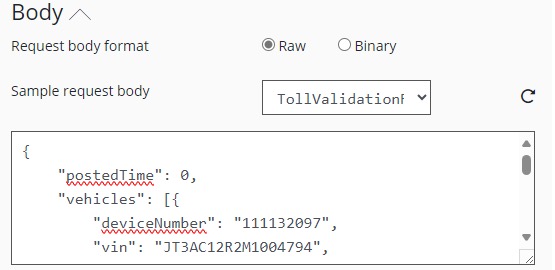
10. Edit the sample request body. Note the http request dialog below will reflect the values you have entered.
11. Scroll to the bottom of the page and hit “Send.”

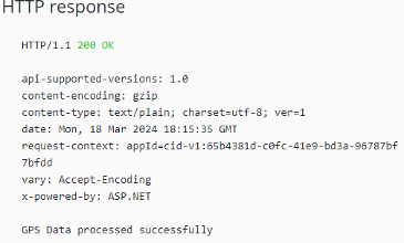
12. Check the response. A successful call to the API will produce a 200 response code and the message “GPS Data processed successfully.”
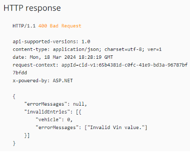
An unsuccessful call will produce a 400 response code and inform you of the invalid values that were sent in the request. Example:
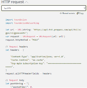
The http request dialog can also be used to autogenerate code to create requests to the API in the language of your choice:
Endpoints
TollsGPS API:
Endpoint: POST /v{version}/gpsevents
Data Dictionary For Requests To The Tolls GPS API
TollValidationRequest
Field Name
Type
Example
Required
Description
postedTime
Integer 64
Epoch i.e.: 1687979999
Optional
The epoch time (or Unix time) is the number of seconds that have elapsed since January 1, 1970 (midnight UTC/GMT)
Vehicles
Array
vehicles […]
Optional
Array of CustomerVehicle objects. Definition follows.
CustomerVehicle
Field Name
Type
Example
Required
Description
vin
String
1X**D*&67D*8****7
(17 digit Valid VIN)
Optional
LVehicle Identification Number
totalAxleCount
Integer
5
Optional
Number of vehicle axles
plateNumber
String
JD*8*P
Optional
Vehicle plate number
plateState
CA
Optional
State abbreviation
trackSegment
Array
trackSegment [ … ]
Optional
Array of GpsLocation objects. Definition follows.
GpsLocation
Field Name
Type
Example
Required
Description
deviceNumber
String
“06XXXXX73”
Required
Device number for vehicle
latitude
Double
[-90, 90]
i.e.: 30.213333
Optional
The latitude of the geographical coordinate.
longitude
Double
-180, 180]
-112.23232
Optional
The longitude of the geographical coordinate.
timestamp
Integer
Epoch
i.e.: 1687979999
Optional
The epoch time (or Unix time) is the number of seconds that have elapsed since January 1, 1970 (midnight UTC/GMT)
timezone
Integer
i.e.: -14400
Optional
speed
Float
[0,60]
i.e.: 25.9
Optional
The instantaneous speed of the device, measured in meters per second.
direction
Float
[0,180] *depends on platform.
i.e.: 360
90
Optional
The direction in which the device is traveling, measured in degrees and relative to due north.
locationAccuracy
Float
*Meters or Percentage?
5.23
Optional
The accuracy of a geographical coordinate, measured in meters. *We recommend using signals with no more than a 20m radius for the best results.
Example HTTP Request Payload
POST https://api-tst.prepass.com/api/tolls/gps/v1/gpsevents HTTP/1.1
Content-Type: application/json; ver=1.0
Cache-Control: no-cache
Ocp-Apim-Subscription-Key: [subscription key]
{
"postedTime": 1710785259,
"vehicles": [{
"deviceNumber": "111132097",
"vin": "JTXXX12RXXXXXX794",
"totalAxleCount": 5,
"plateNumber": "SPR909",
"plateState": "AZ",
"trackSegment": [{
"latitude": 33.512852,
"longitude": -112.144882,
"timestamp": 1710785250,
"timezone": 1,
"speed": 80,
"direction": 0,
"locationAccuracy": 100
}]
}]
}
Example Response - Success
HTTP/1.1 200 OK
api-supported-versions: 1.0
content-encoding: gzip
content-type: text/plain; charset=utf-8; ver=1
date: Mon, 18 Mar 2024 18:33:29 GMT
request-context: appId=cid-v1:65b4381d-c0fc-41e9-bd3a-96787bf7bfdd
vary: Accept-Encoding
x-powered-by: ASP.NET
GPS Data processed successfully
Example Response - Error
HTTP/1.1 200 OK
api-supported-versions: 1.0
content-encoding: gzip
content-type: text/plain; charset=utf-8; ver=1
date: Mon, 18 Mar 2024 18:33:29 GMT
request-context: appId=cid-v1:65b4381d-c0fc-41e9-bd3a-96787bf7bfdd
vary: Accept-Encoding
x-powered-by: ASP.NET
GPS Data processed successfully
OpenAPI Specification
The OpenAPI specification for the PrePass Tolls API can be downloaded from the PrePass Developer Portal via the API definition dropdown when viewing a specific API.